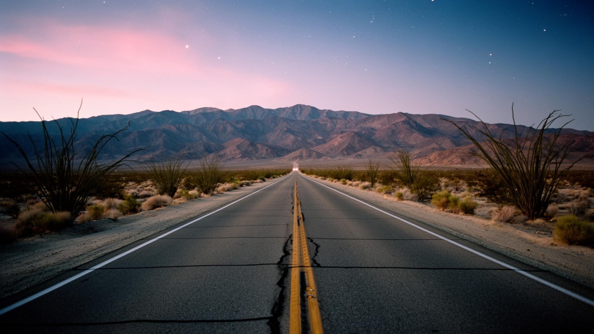
Anza-Borrego is one of the most open off-road parks in California.
Why Borrego is famous for it
Legal dirt access is enormous. Anza-Borrego is one of the few California state parks where street-legal 4x4s can drive on named dirt roads. Most rigs will run something here — from a stock crossover on Font's Point Road to a built rock crawler on Diablo Drop-Off. Add Ocotillo Wells SVRA next door for open sand play and hillclimbs, and you have a full weekend of driving without repeating yourself.
Vehicle requirements
Inside the state park: street-legal vehicles only. Everything must be registered, insured, and plated. A stock high-clearance SUV (Subaru Outback, RAV4, CR-V level) opens most of the scenic dirt roads in dry conditions. True low-range 4WD (Wrangler, 4Runner, Bronco, Tacoma, or better) is required for the harder routes. All-terrain tires (Falken Wildpeak, BFG KO2, Toyo Open Country) make a bigger difference than any other upgrade. A full-size spare is mandatory — the sharp rocks in Fish Creek and Sandstone will eat a road tire. In Ocotillo Wells SVRA: OHVs, UTVs, dirt bikes, and non-street-legal buggies are all welcome with a current CA green or red sticker.
Permits, rules, and closures
No permit is required for day use on established routes in the state park. Absolutely no off-trail driving — Anza-Borrego is designated wilderness in most zones and tire tracks last decades. Fires only in metal rings at the developed campgrounds or in a portable fire pan on dispersed sites. Coyote Canyon Road has been closed beyond the Third Crossing since Tropical Storm Hilary (August 2023) and remains closed for storm repairs — check the state park's dirt-road-conditions page before you go. The lower portion below the closure still shuts each spring (typically Mar 1 – Sep 15) for peninsular bighorn sheep lambing. Ocotillo Wells SVRA requires a green or red OHV sticker on non-street-legal machines.
Routes by difficulty
Beginner — Font's Point Road
4 miles of graded dirt to one of the great sunset viewpoints in California. High-clearance recommended, deeply grooved after rain. Airing down to 25 psi helps immensely.
Beginner — Coyote Canyon (south end)
Wildflower and stream corridor. Easy sand and a couple of shallow water crossings up to the Third Crossing, where the road is currently closed for storm repairs (since Aug 2023). Great intro drive within that lower section.
Beginner — Erosion Road self-guided tour
18 miles of graded dirt through the badlands with numbered stops. Doable in a stock crossover in dry weather.
Intermediate — Fish Creek Wash & Split Mountain
Sand-and-gravel wash driving up through a dramatic slot in Split Mountain, then out to the Wind Caves. Airing down and momentum matter.
Intermediate — Sandstone Canyon
Tight, twisting narrows accessed via Fish Creek. Pinstriping is guaranteed — bring touch-up paint. 4WD strongly recommended.
Intermediate — Truckhaven Trail
12 miles of mixed dirt and small drops connecting Salton Sea to Font's Point. Big variety of terrain in one route.
Advanced — Diablo Drop-Off
A committed steep drop off Pinyon Ridge into the badlands. 4-low, front and rear lockers, a spotter, and matching-strength recovery straps recommended. Not for stock rigs.
Advanced — Sheep Canyon Road
Rocky, loose, slow. Great access to remote palm oases. Full-size spare and a real recovery kit required.
Advanced — Pumpkin Patch loop (Ocotillo Wells)
Big sandy hills, technical steps, a natural formation of round sandstone concretions at the end. Best in a UTV or built 4x4.
Jeep, UTV, and dirt bike scene
In the state park, UTVs are legal on named dirt roads (must be street-legal with plates and insurance). Ocotillo Wells SVRA is the sand and hillclimb playground — OHVs and dirt bikes only, no street-legal requirement, and 85,000 acres of open riding. Big weekends draw serious crowds; weekdays you'll have miles to yourself. Winter is peak season; summer is dangerously hot for open-air rigs.
Scenic drives for any vehicle
Montezuma Grade (S22) climbs 4,000 feet from town toward Ranchita — pavement, extraordinary views. The Erosion Road self-guided tour is 18 miles of graded dirt through the badlands with numbered geology stops. Yaqui Pass and Borrego-Salton Seaway are both fully paved and lace through the park with pullouts every mile or two.
Wash driving basics
Air down to 18–20 psi on soft sand — this is the single most important skill. Momentum > power; don't stop on a soft climb. Steer with the ruts, not against them. Watch for melon-sized rocks buried in sand. If you're stuck, don't spin — get out, dig, and set traction boards. Bring a small air compressor (ARB, Viair) to reinflate for the drive home.
Recovery gear — the actual list
Full-size spare with matching pressure. Tire plug kit and a bicycle pump minimum, a small compressor ideally. Recovery boards (MaxTrax, ActionTrax). A kinetic recovery rope (Bubba Rope, Yankum) with two soft shackles rated for your rig's weight. A steel shovel (folding is fine). Work gloves. First aid kit. 4 gallons of extra water. A Garmin inReach or Zoleo satellite messenger — cell service ends the moment you leave pavement. In winter add a wind layer; in summer add extra water beyond what you think you need.
Seasonal conditions
Summer (May–September): dangerous heat, monsoon flash floods, air temps 105–120°F, ground temps much higher. Do not run open-air rigs in the middle of the day. Cool season (October–April): prime — cool days, cold nights, dry ground. Rain is rare but consequential; wash routes can be impassable for days after a storm. Always call the Borrego Springs Visitor Center (760-767-4205) for current closures. Coyote Canyon Road is currently closed beyond the Third Crossing (storm damage since Aug 2023) and the lower stretch closes annually for bighorn lambing (roughly Mar 1 – Sep 15).
Rentals and guided tours
California Overland Adventures
The oldest guided outfit in Borrego — giant open-air ex-military rigs, half-day and full-day tours through Font's Point, the badlands, and slot canyons. Best introduction if you don't own a 4x4. Departs from Christmas Circle.
Borrego Jeep Rentals (Ocotillo Wells area)
Half-day and full-day Jeep and side-by-side rentals. Reserve well ahead for holiday weekends.
Julian-based tours
A couple of Julian outfits will run guided day tours into Anza-Borrego if you're staying up-mountain.
Local etiquette
Uphill has the right of way. Wave to everyone. Pack out everything, including toilet paper and pistachio shells. Give bighorn sheep at least 100 yards — they're endangered and skittish. If you find someone stuck, stop and help; the favor comes back. Never cut a switchback or drive off-established routes; the damage lasts decades in this soil.
Fueling and mechanical
The Chevron on Palm Canyon Drive is the only gas station in town. Fill up before you head into the park. There is no auto parts store and no tire shop — nearest is Julian or Salton City. Roadside assistance can take 4+ hours to reach remote spots. Bring what you need to solve problems yourself.
Frequently asked questions
Can I drive Font's Point in a car?
In a dry season with careful driving, yes, but a small SUV or crossover is much safer. After rain, don't try it — the ruts get deep enough to high-center a low car.
Are there guided tours?
California Overland Adventures runs excellent guided tours out of Christmas Circle in giant open-air rigs — the easiest way to see the park if you don't have a 4x4.
Is off-trail driving allowed?
No. Stay on established named routes. Fines are steep, and the ecological damage lasts decades in desert soil.
Do I need lockers and a snorkel?
For 95% of park routes, no. For Diablo Drop-Off, Sheep Canyon, and technical Fish Creek variants, lockers help a lot. A snorkel is unnecessary — there are no real water crossings.
What's the closest tire shop?
Julian (45 minutes) or Salton City (30 minutes). Bring a full-size spare and a plug kit.
Where can I air down and back up?
Air down at the pavement/dirt transition (any pullout works). Air back up at the Chevron before you head home — they have a coin-operated compressor, but a portable is faster.
Stay the night
Moonlight Oasis is a 3-bedroom dark-sky residence in Borrego Springs. Sleeps 13.
Check availability →Keep reading
The Ultimate Guide to Borrego Springs Restaurants & Food
A no-stoplight town with a surprisingly good food scene.
The Ultimate Hiking Guide to Borrego Springs
Palm oases, slot canyons, badlands, and 500+ miles of trail in one state park.
The Complete Stargazing Guide to Borrego Springs
Borrego Springs is one of only two International Dark Sky Communities in California.
Things to Do in Borrego Springs (Complete Guide)
Beyond the stars and the hikes — the full menu.